Marriott Harbour Club Map
You can see the Sea Pines Marina Lighthouse from the Marriott Harbour Club Map. A quick walk across Lighthouse Road and you will be in the Harbour Town area with fun places to visit. The huge playground is a lot of fun for the kids and the shops and restaurants are a great place to spend some time for an evening. Walking along the Harbour Town Marina and looking at all of the boats and yachts is a great sight as well. What a great location in Sea Pines to be staying when you see everything around the Marriott Harbour Club.
Sea Pines
Sea Pines is one of a few gated communities in Hilton Head, it is also the largest public plantation. The views from the back of the Marriott Harbour Club include Heddy Gutter Creek and off to the side you will see Broad Creek. Sitting on your deck, if you have views of the water, you will see people kayak through the creek and the views of the Treetop Villas on the other side of the creek is a nice backdrop. There is so much to do in Sea Pines and having a 2-Bedroom Villa at the Marriott Harbour Club, so close to Harbour Town is a nice adventure.
What is the closest Airport to the Marriott Harbour Club Hilton Head Resort?
There are two (2) airports guests will use to get to the Hilton Head Island.
- Hilton Head Island Airport: 10.8 Miles
- Savanna/Hilton Head International Airport: 48.1 Miles
Exploring Hilton Head from the Harbour Vacation Club Marriott

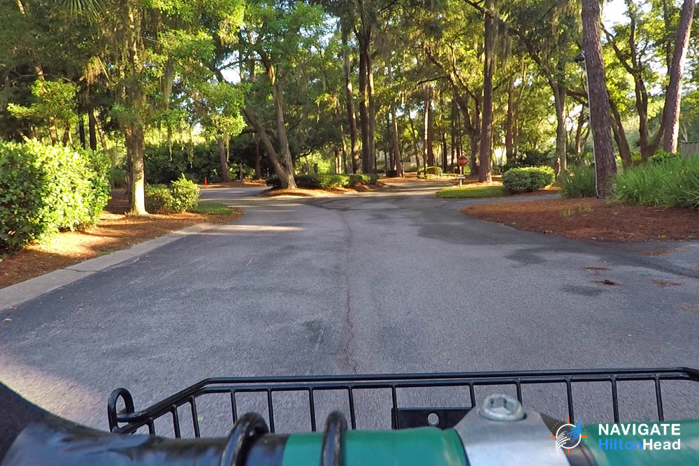
Once you visit Hilton Head Island, no other Beach community quite compares. Hilton Head does a great job of hiding all of their buildings and keeping everything behind nature. This is why Renting a bike from the Marriott Harbour Club makes sense during your stay. Take a ride on the many miles of trails through Sea Pines. If you want to get really adventurous, head out of Sea Pines and ride on the over 100-miles of bike trails on the island. This is the best way to get around and enjoy the nature around you. It is also one of the best ways to spend time together as a family and make wonderful memories along the way.


